
About this area
About Cleburne County
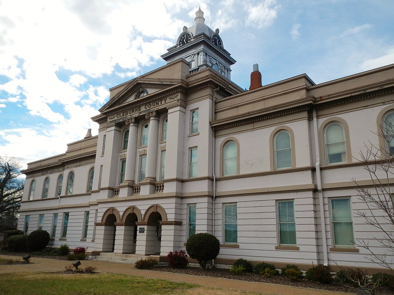
Cleburne County lies along Alabama’s eastern border with Georgia, with Heflin as its county seat. It was created in 1866 from parts of Calhoun, Randolph, and Talladega counties. Edwardsville originally served as the county seat; the move to Heflin followed a vote in 1905. Heflin grew as a shipping point for cotton, while Fruithurst developed around a winemaking venture that attracted investors and settlers in the late nineteenth century. Those communities give the county a history that reaches beyond the interstate exits familiar to travelers today.
Mountains and forest are an important part of the landscape. Cheaha Mountain, Alabama’s highest natural point, is in Cleburne County, and part of Talladega National Forest lies within its boundaries. The southern Appalachian setting includes wooded ridges as well as smaller valleys and communities. Interstate 20 and U.S. 78 cross the county toward Georgia. Other routes, including U.S. 431 and Alabama 9, connect it with neighboring Alabama counties and the towns beyond the main east–west corridor.
Nearby Communities
- Heflin
- Fruithurst
- Edwardsville
- Ranburne
- Oxford